| Small pictures are below. If you would like the original full-size picture, please send me an email indicating which picture and I will send it to you. |
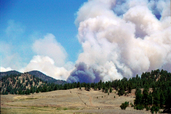
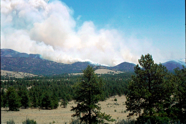
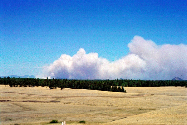 The smoke from just west of Divide looking toward the northwest. |
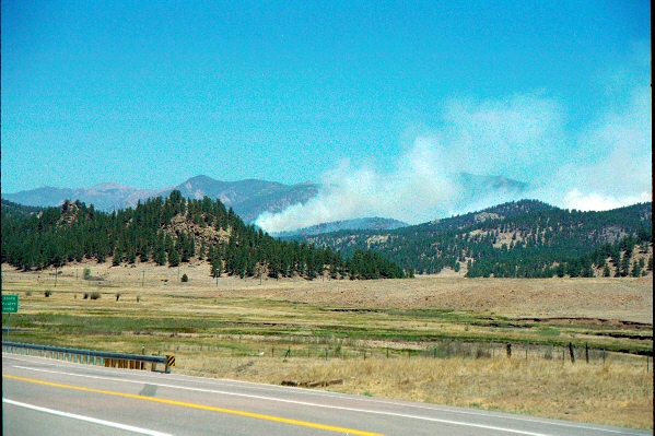
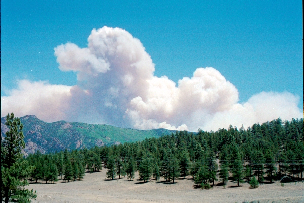
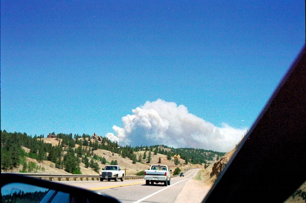 The smoke from just east of Floresent. Note that Jan had pulled over and stopped to take the picture! |
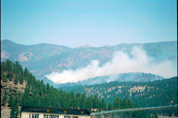
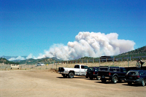 The smoke from the Lake George Elementary School, where the Red Cross was set up. Of note you can see to the left where the lesser smoke is. That is where the fire was on Saturday and was fairly well burned out by Sunday. The Center of the picture is where the fire was concentrated around noon-ish on Sunday. |
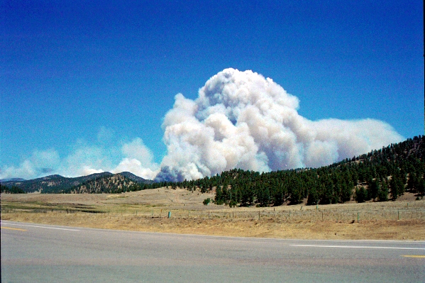 Similar view, zoomed in a bit. Compare this picture to the one above and you can see by the plumes of smoke how quickly the fire started getting even more out of control in the time that Jan was in Lake George. |
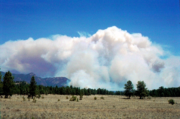
 Zoomed in even more on the center of the fire. |
 This view is where the fire had been on Saturday, looking roughly in the direction of Landis Ranch. FPCA was about 1-2 miles "behind" this part of the smoke. During the day Saturday the wind shifted more toward the northeast, keeping the fire away from Landis Ranch. |
 Another view of the area closest to Landis Ranch where the fire has now progressed to the northeast. |
 View from Park County road 31 between US24 and Park County 77 (County 77 was closed between US24 and Park County 31). For reference, the hill to the left of the smoke is Pilots Peak. |
 Also from Park County 31. |
 Closest shot of the fire with reference to Landis Ranch. The large green spot are the aspen trees on the hills just to the northeast of Landis Ranch. This picture shows that the fire ended up following the valley just behind the Tarryall valley. |
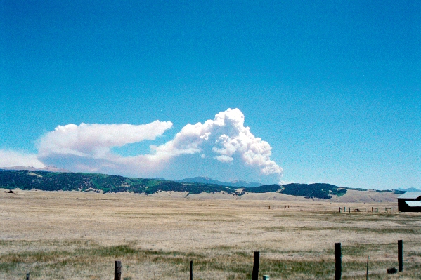 View of the smoke from the town of Jefferson along Highway 285. |
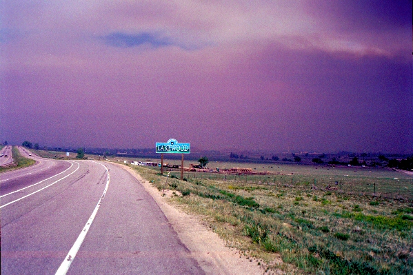 Entering the town of Lakewood from Highway 285. The smoke from the Hayman fire engulfed pretty much all of Denver. |